Survey Tools
Main Menu | Survey Tools
This menu contains functions pertaining to the data in your Project.
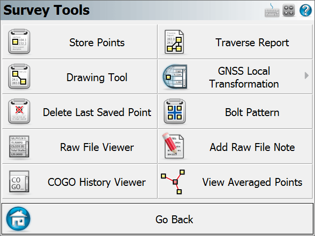
Store Points
Use this to enter new coordinates into your scene's database. Please see the Store Points topic for more information.
Drawing Tool
This starts up the draw plan tool.
Delete Last Saved Point
Use this to "
Raw File Viewer
Use this to open a viewer that will display your current raw file. Please see the Raw File Viewer topic for more information.
COGO History Viewer
Use this to display the results that were computed using the COGO commands. Please see the COGO History Viewer topic for more information.
Traverse Report
Use this to generate a traverse closure report based on your traverse setups. Please see the Traverse Report topic for more information.
GNSS Local Transformation
Use this to specify transformation parameters that can be used to localize GNSS data. Please see the Transformation Setup topic for more information.
Bolt Pattern
Use this to create and apply point patterns for example for bolt plates or pillars. Please see the Bolt Pattern topic for more information.
Add Raw File Note
Use this to add a comment to the raw file. Please see the Raw File Comment topic for more information.
View Averaged Points
Please see the Point Averaging topic for more information.