Roads Manager
Main Menu | Roads Manager
To stake an alignment you first need to define the geometry that defines the horizontal and vertical element. You can also define a template that will be used to define cross sections at specific stations along the alignment.
FieldGenius can use the following three methods to define an alignment.
- Manual Entry – You can manually enter the data to define the alignment.
- Import XML – You can import a LandXML file that contains your alignment data.
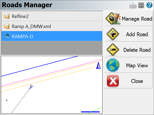
By default you will see an alignment in the list with the current project name. A project can contain multiple roads, and each road can contain the following elements.
- Horizontal Element: This can contain straight tangents, curves and spirals.
- Vertical Element: This can contain grade breaks, parabolic curves and non-symmetrical curves.
- Templates: Template can contain horizontal and vertical offsets, as well as widening and super elevation data.
- XML Cross Sections: XML cross sections define specific stations along an alignment. These sections contain horizontal, vertical and template data. XML cross sections are created using desktop software which is then imported into FieldGenius.
Manage Road
This option is only available once you've created a road using the New Road button or imported an XML file. To input or review alignment data, press the Manage Road button to access the Road Settings screen.
If you imported a LandXML file, or manually inputted a road you can stake it by pressing this button. As a minimum you need to have the following before the stake command will continue.
- XML Cross sections
- Horizontal C/L, Vertical Profile and template.
- Horizontal C/L and DTM Surface
Add Road
Use this button to create a new road. You can create as many roads as needed and they will be stored in an XML file that will reside is the project directory.
Delete Road
Use this to delete a road. You first need to highlight the road you want to delete, and then press the button to remove the road from the alignment. This road will be permanently deleted and cannot be undone.
Map View
Use this button to display the map view. From this view you can use the zoom controls to zoom around your drawing so you can find important or relevant data for your alignment such as a POB point. Press the Close View button to return back to the Roads Manager.
Tell me more about ...
Manual Entry - Vertical Profile