Transformation Setup
Main Menu | Survey Tools | GNSS Local Transformation
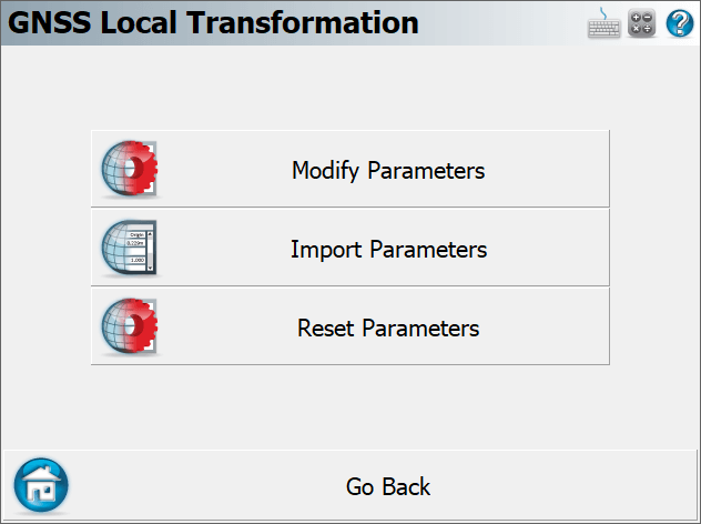
Starting a new transformation, the following options will be available:

Modify Parameters
The Modify Parameters page allows the user to set the transformation method and parameters. This is always the first step of any local transformation. See the Modify Parameters topic for more information.
Import Parameters
FieldGenius has the ability to read in a localization file (*.loc) to apply a previously used transformation to the current Project. Select this button and navigate to the desired .loc file to load it in. There is no need to export the .loc file as it is automatically updated during the transformation routine.
Reset Parameters
Use this option to reset any previously applied transformation parameters. This cannot be undone.
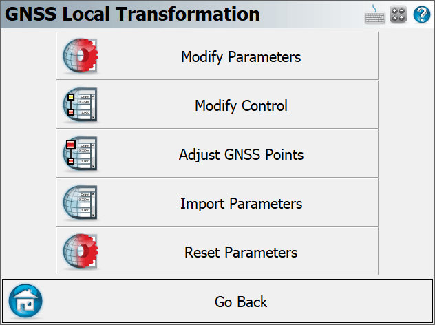
NOTE: Depending on what the user specifies at the "Modify Parameters" page, additional options may become available:
Modify Control

Only applicable for a "Similarity" method where the parameters are calculated by matching up control points. This option can be used to add, edit or delete control pairs used for the calculation of the transformation parameters. See the Modify Control topic for more information.
Adjust GNSS Points
When the transformation parameters are finalized, this option can be used to update the coordinates of every GNSS measured point in the database. The transformation parameters are always applied to the original Lat/Long of the measured point, to compute the adjusted grid coordinates.