Modify Control
Main Menu | Survey Tools | GNSS Local Transformation | Modify Control
Use this option to Add, Edit and Delete control points used to calculate the Similarity Transformation parameters.

Add Control
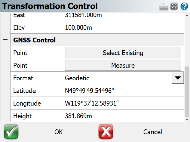
Pick Add Control to match a Local Control point with a GNSS Control point. Control points can be matched 1D, 2D or 3D.
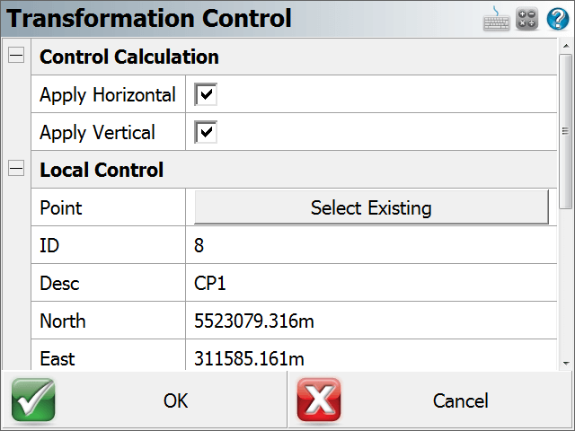
- The Local Control section only allows the user to select an existing point from the database.
- The GNSS Control section allows the user to select an existing point from the database (must have been previously measured with GNSS) or to measure a position which can then optionally be added to the database.
Edit Control
Select a row and then pick Edit Control to modify any component of a matched pair. For example, after reviewing the residuals of all the control points, it may be necessary to change a 3D match to a 2D match. The calculated parameters are immediately updated.
Delete Control
Select a row and then pick Delete Control to completely remove a control pair from the list. The calculated parameters are immediately updated.
Continue to add/edit/delete control until you are satisfied with the residuals. When done; press the OK button to take you back to the main GNSS Local Transformation dialog.
NOTE: The transformation parameters are immediately applied to your current postion and written to the Project's *.loc file when you confirm the values with OK.
To complete the transformation and update previously measured GNSS points, pick the Adjust GNSS Points option.