Data Manager Menu
Main Menu | Data Manager
This menu allows you to organize, manipulate and view the different data types that may be associated with your FieldGenius Projects.
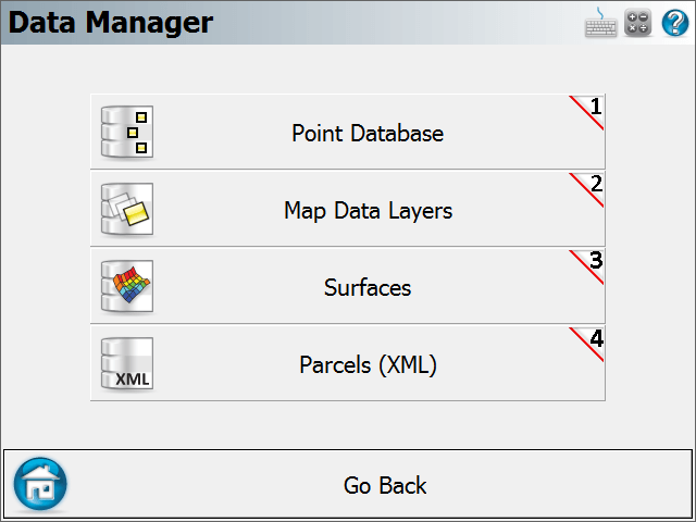
Points Database
Use this to open the points database. From here you will find numerous tools that can be used to edit your points. Please see the Coordinate Database topic for more information.
Map Data Layers
Use this to import DXF,
Surfaces
Use this to import DTM surface files into your Project, view and edit your DTM surfaces, and perform volume calculations. Please see the Surfaces topic for more information.
Parcels (XML)
Use this to edit and view your XML parcels that are associated with your Project. Please see the Parcels (XML) topic for more information.