GNSS Satellite Plot
|
|
To access this screen, press the Satellite button on the GNSS Toolbar. |
The Satellite Plot screen is a graphical representation of the current GNSS satellite constellation. It shows all visible satellites including both GPS and GLONASS. Those satellites being used in the current solution are indicated with a black dot, and those being ignored are indicated with a white dot.
Each satellite is displayed with its PRN (identification) number, and the Elevation Mask specified in your current Tolerance Mode is indicated by a red dashed line.

Press the View List button to open the Satellite List screen.
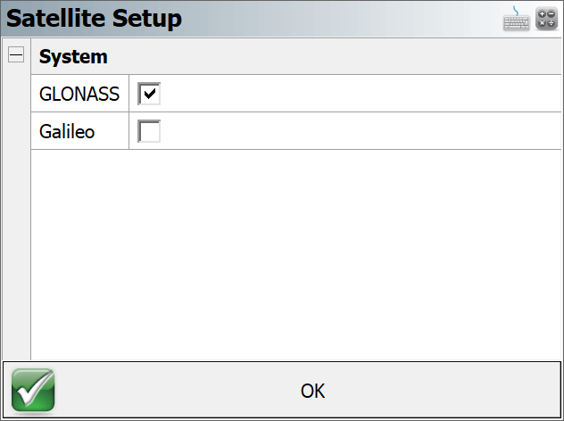
Press the Satellite Setup button to enable/disable constellations.
Press the Close button to return to the map screen.