Apply Control Calculated Parameters
Main Menu | Calculations | Rotate/Translate/Scale | Apply Control Calculated Parameters
Use this to rotate, translate and scale a point or group of points by matching up control points. When this command is used notes will automatically be written to the raw file indicating what parameters were entered by the user. Coordinates that are updated with the RTS command will be recorded in the raw file with AP (Adjusted Points) records.
Adding Control
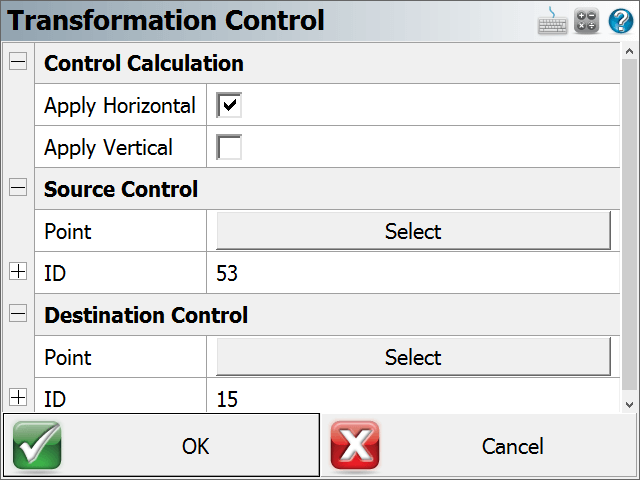
Pick “Add Control” to add a control pair.

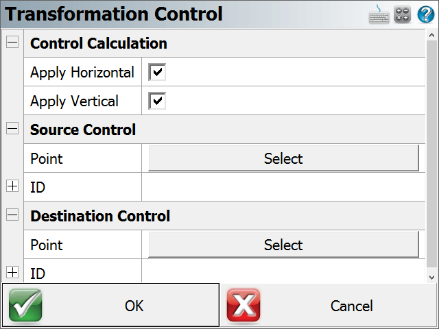
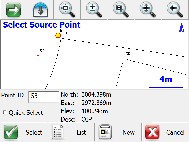
Confirm the Control type (2D or 3D, or none) by selecting the “Apply Horizontal” and “Apply Vertical” checkbox options. Pick the “Select” option for Source Control Point selection and Destination Control Point selection. The standard Point Picker tool is opened to enter or select the point.
Editing Control
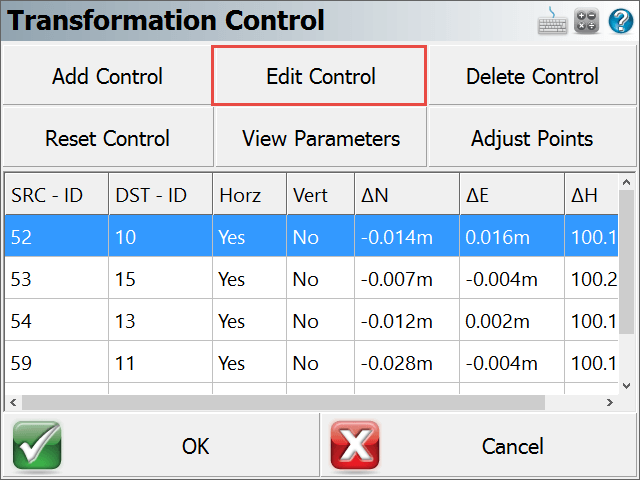
Select a control pair, then pick “Edit Control” to edit the control pair. The resulting dialog allows the user to modify any of the parameters of the control pair.
Deleting Control
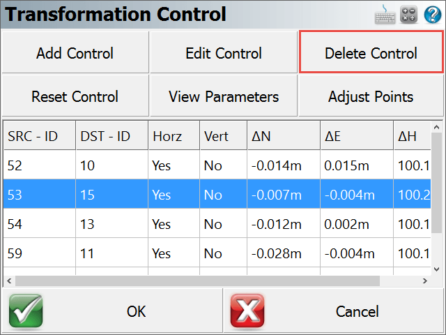
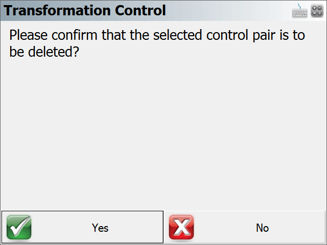
Select a control pair, then pick “Delete Control” to delete the control pair. A confirmation screen is presented.
Resetting Control
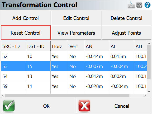
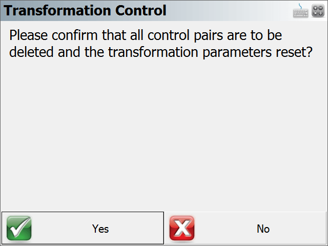
Pick “Reset Control” to remove all control pairs. A confirmation screen is presented.
Viewing Transformation Parameters
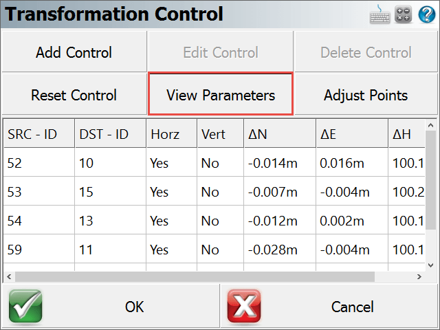
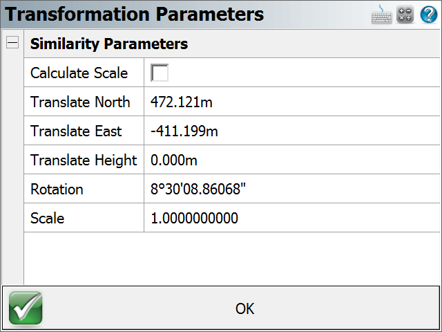
Pick “View Parameters” to view the calculated parameters of the transformation, and to toggle the application of the calculated scale factor. By default the scale will not be calculated.
Adjusting Points
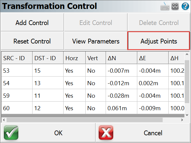
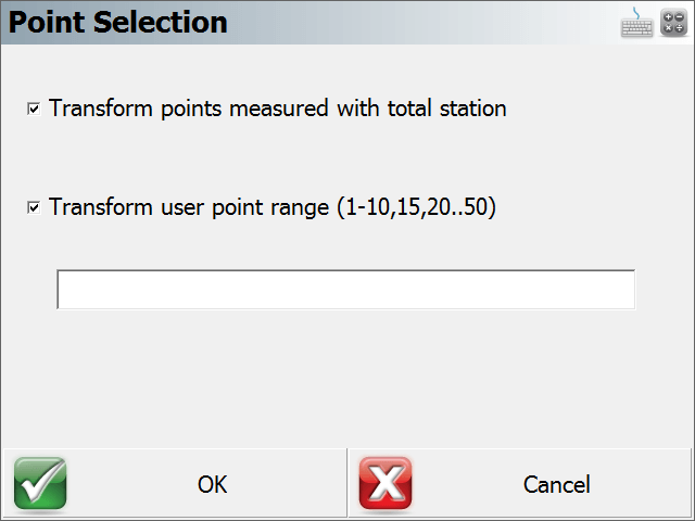
Pick “Adjust Points” to apply the calculated parameters to points in the project. The Point Selection dialog allows the user to pick the option to transform points measured with total station. This option will scan the raw file to extract all Point IDs that were observed with a total station. In addition (or instead), the user can enter the point(s) to be transformed.
Additional Notes
- From the main “Transformation Control” screen, the OK menu option will save the current state of the entered parameters and then exit to the Map Screen. The Cancel menu option will not save any changes made since the current instance of the routine was started.
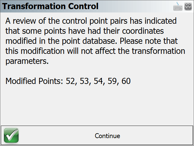
- The program saves the values of the point coordinates at the time they were added as control. After points have been adjusted, the parameters that are stored will not be updated with the new coordinates, and as such they can become “stale”. This is to allow transforming additional points with the original parameters. When point coordinates have changed, the program will alert the user of the modified coordinates. If additional control will be added to re-calculate a transformation, it is best to use the “Reset Control” option and re-add all the control pairs.
